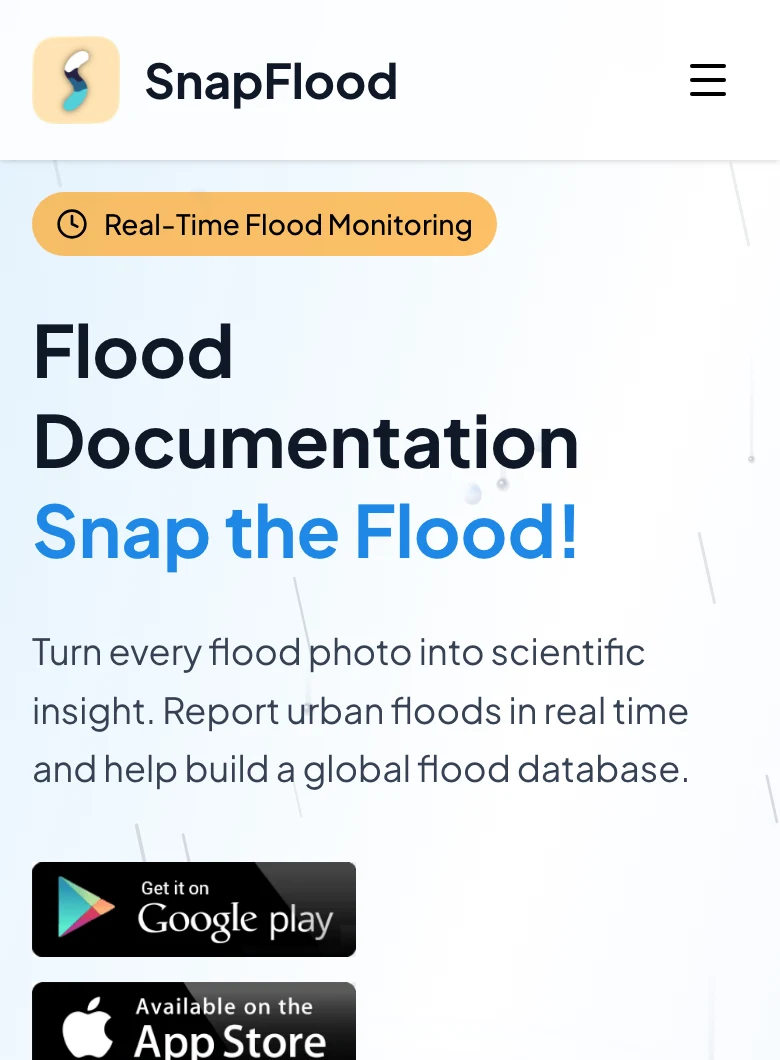
SnapFlood
Mobile appLive100+ installs
Photograph a flooded street, upload it with a location, and it joins an archive of where water actually stood — in any city on earth. It began as the VarshaMitra campaign in 2023 and became an app.
Products and tools from the group that puts rainfall and flood information in the hands of the people who need it: a citizen reporting app, analytics for rainfall and river data, and apps for forecasters and researchers.
5 tools 1 in the app stores 3 in R and Shiny All free to use

Mobile appLive100+ installs
Photograph a flooded street, upload it with a location, and it joins an archive of where water actually stood — in any city on earth. It began as the VarshaMitra campaign in 2023 and became an app.
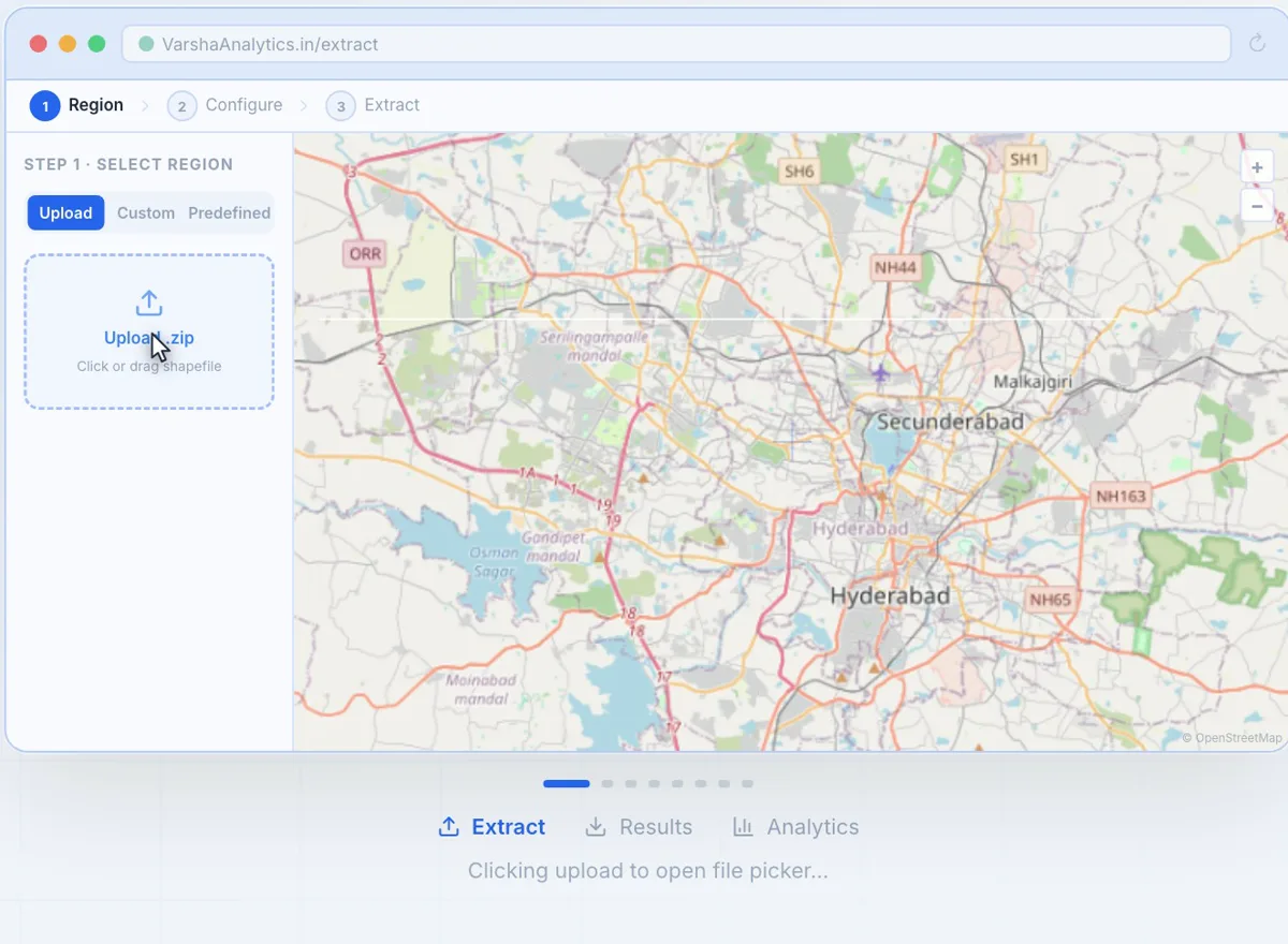
Web appIn development
Extract, analyse and visualise rainfall data for any period and any region in India.
Not yet public
The working end of three projects, published so the method can be tried rather than only read about.
Diagnostics and statistical post-processing for streamflow forecasts — the ensemble methods from the NOAA years, in a browser.
Climate extremes for the Serayu and Krishna river basins, from the Asia-Pacific Network project with Jenderal Soedirman University in Java. Code by T. S. S. S. Prasad.
Visualising and analysing poverty indicators alongside water and consumption data.